File:1-13, Fountain Place (C) Mike Kirby - Geograph - 1472755.jpg
Jump to navigation
Jump to search

No higher resolution available.
1-13,_Fountain_Place_(C)_Mike_Kirby_-_Geograph_-_1472755.jpg (640 × 352 pixels, file size: 70 KB, MIME type: image/jpeg)
| |||||||||||||||||||||||||
File history
Click on a date/time to view the file as it appeared at that time.
| Date/Time | Thumbnail | Dimensions | User | Comment | |
|---|---|---|---|---|---|
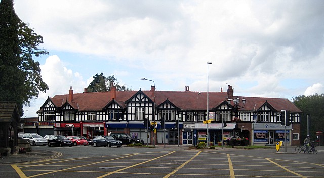
| current | 11:55, 16 September 2014 | | 640 × 352 (70 KB) | Jeni (talk | contribs) | '''1-13, Fountain Place (C) Mike Kirby '''<br/>Built in a vernacular revival style, around the junction of Chester Road and London Road North, this early twentieth century row of shops, is classed as a locally important building. The Jubilee fountain c... |
File usage
The following 4 pages use this file:
_Mike_Kirby_-_Geograph_-_1472755.jpg&oldid=505824)