File:1980 Strip Map of the A74 II - Coppermine - 2156.JPG
Jump to navigation
Jump to search

Size of this preview: 231 × 599 pixels. Other resolution: 287 × 744 pixels.
Original file (287 × 744 pixels, file size: 36 KB, MIME type: image/jpeg)
| ||||||||||||||
File history
Click on a date/time to view the file as it appeared at that time.
| Date/Time | Thumbnail | Dimensions | User | Comment | |
|---|---|---|---|---|---|
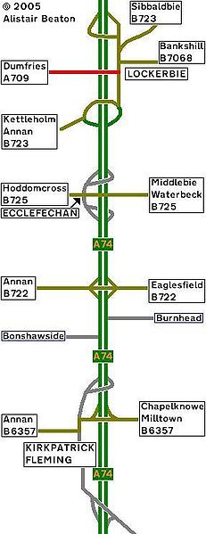
| current | 17:49, 31 March 2010 | 287 × 744 (36 KB) | Rileyrob (talk | contribs) | '''1980 Strip Map of the A74 II''' Here is the A74 in the Glory years of 1976-85. This is the Second section, North of Gretna Green, Lockerbie. <small>''Originally uploaded to Coppermine on May 12, 2005 by ABeaton''</small> |
File usage
There are no pages that use this file.