File:20120604-1329 - A66 from Blencathra.jpg
Jump to navigation
Jump to search

Size of this preview: 800 × 600 pixels. Other resolutions: 2,560 × 1,920 pixels | 3,072 × 2,304 pixels.
Original file (3,072 × 2,304 pixels, file size: 2.99 MB, MIME type: image/jpeg)
| |||||||||||||||||||||||||
|
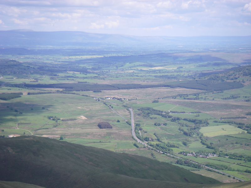
Galleries | A66 | Cumberland | Cumbria | S2 | ||
File history
Click on a date/time to view the file as it appeared at that time.
| Date/Time | Thumbnail | Dimensions | User | Comment | |
|---|---|---|---|---|---|
| current | 11:07, 17 June 2012 | | 3,072 × 2,304 (2.99 MB) | C2r (talk | contribs) | A66 from summit of Blencathra |
File usage
The following 3 pages use this file: