File:20160124-1220 - B1039 Great Chishill Windmill 52.0294206N 0.0537115E.jpg
Jump to navigation
Jump to search

Size of this preview: 337 × 600 pixels. Other resolution: 1,456 × 2,592 pixels.
Original file (1,456 × 2,592 pixels, file size: 1.06 MB, MIME type: image/jpeg)
| |||||||||||||||||||||||||
|
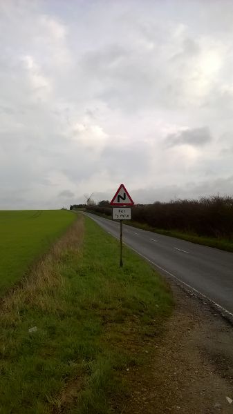
Galleries | B1039 | Images by C2r | S2 | Cambridgeshire | Warning Sign/Double Bend | ||
File history
Click on a date/time to view the file as it appeared at that time.
| Date/Time | Thumbnail | Dimensions | User | Comment | |
|---|---|---|---|---|---|
| current | 14:03, 25 January 2016 | | 1,456 × 2,592 (1.06 MB) | C2r (talk | contribs) | B1039 - Great Chishill Windmill |
File usage
The following page uses this file: