File:20160605-2041 - Old A1 northbound carraigeway - local access road looking south - 54.4145755N 1.6629284W.jpg
Jump to navigation
Jump to search

Size of this preview: 800 × 449 pixels. Other resolution: 2,592 × 1,456 pixels.
Original file (2,592 × 1,456 pixels, file size: 836 KB, MIME type: image/jpeg)
| |||||||||||||||||||||||||
|
Galleries | A6055 | A1 | A1(M)/Darrington - Birtley | Images by C2r | Roadworks | A1(M) Dishforth to Barton | ||
File history
Click on a date/time to view the file as it appeared at that time.
| Date/Time | Thumbnail | Dimensions | User | Comment | |
|---|---|---|---|---|---|
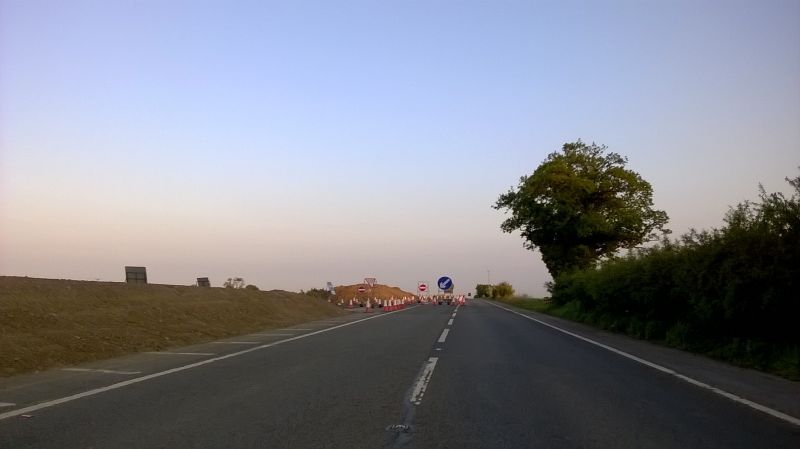
| current | 22:16, 6 June 2016 | | 2,592 × 1,456 (836 KB) | C2r (talk | contribs) | Old A1 northbound carraigeway - local access road looking south |
File usage
There are no pages that use this file.