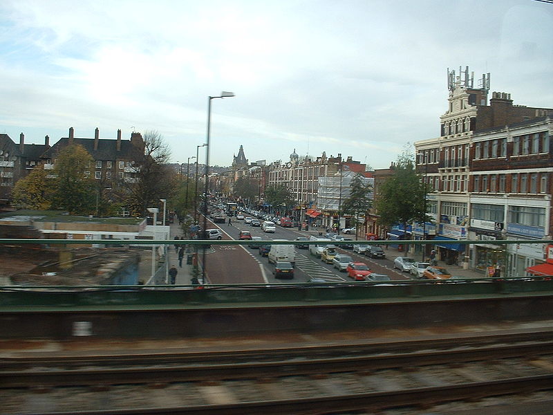
File:A1083 Griggs Approach (Ilford) - Coppermine - 6688.JPG
Jump to navigation
Jump to search


Size of this preview: 800 × 600 pixels. Other resolution: 1,280 × 960 pixels.
Original file (1,280 × 960 pixels, file size: 340 KB, MIME type: image/jpeg)
| ||||||||||||||
|
Galleries | a1083 | ||
File history
Click on a date/time to view the file as it appeared at that time.
| Date/Time | Thumbnail | Dimensions | User | Comment | |
|---|---|---|---|---|---|
| current | 17:47, 28 April 2010 |  | 1,280 × 960 (340 KB) | Bob@romiley1 (talk | contribs) | '''A1083 Griggs Approach (Ilford)''' The northern roundabout with unclassified Ley Street. Opened in 1985, it connects to the "new" D2 A118 Winston Way, opened the same year. This road was incorrectly labelled as "A108" on some maps, causing some confusi |
File usage
The following page uses this file: