File:A10 junction and Halfway House - Geograph - 10329.jpg
Jump to navigation
Jump to search

No higher resolution available.
A10_junction_and_Halfway_House_-_Geograph_-_10329.jpg (640 × 480 pixels, file size: 116 KB, MIME type: image/jpeg)
| |||||||||||||||||||||||||
|
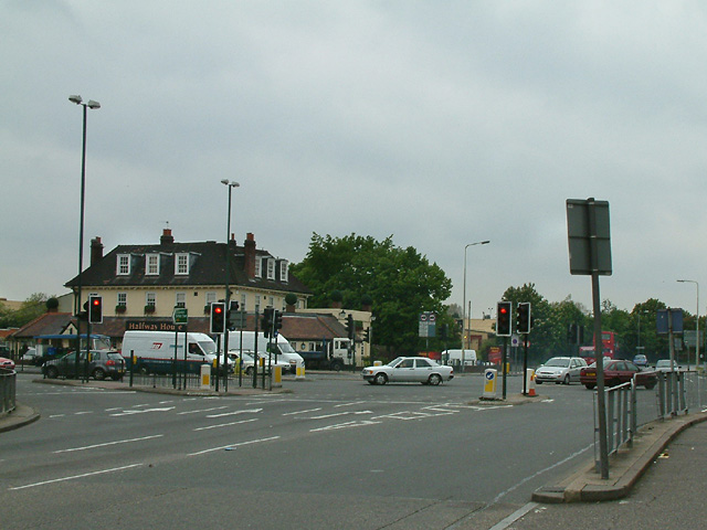
Galleries | A10 | Halfway House (Enfield) | Traffic Signals | ||
File history
Click on a date/time to view the file as it appeared at that time.
| Date/Time | Thumbnail | Dimensions | User | Comment | |
|---|---|---|---|---|---|
| current | 08:16, 29 August 2016 | | 640 × 480 (116 KB) | C2r (talk | contribs) | '''A10 junction and Halfway House''' The Halfway House pub and the junction of Carterhatch Lane with the A10 Great Cambridge Road. |
File usage
The following 2 pages use this file: