File:A1235, eastbound (C) Nigel Chadwick - Geograph - 3265325.jpg
Jump to navigation
Jump to search

No higher resolution available.
A1235,_eastbound_(C)_Nigel_Chadwick_-_Geograph_-_3265325.jpg (640 × 361 pixels, file size: 45 KB, MIME type: image/jpeg)
| |||||||||||||||||||||||||
File history
Click on a date/time to view the file as it appeared at that time.
| Date/Time | Thumbnail | Dimensions | User | Comment | |
|---|---|---|---|---|---|
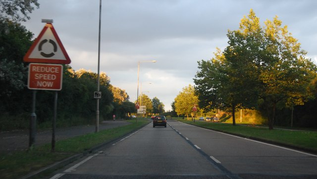
| current | 20:24, 3 November 2013 | | 640 × 361 (45 KB) | Vlad (talk | contribs) | '''A1235, eastbound (C) Nigel Chadwick '''<br/> The A1235 runs 2.4 miles through Basildon from Upper Mayne to East Mayne. |
File usage
The following 4 pages use this file:
_Nigel_Chadwick_-_Geograph_-_3265325.jpg&oldid=357666)