File:A14ornot.jpg
Jump to navigation
Jump to search

Size of this preview: 547 × 599 pixels. Other resolution: 1,402 × 1,536 pixels.
Original file (1,402 × 1,536 pixels, file size: 713 KB, MIME type: image/jpeg)
| |||||||||||||||||||||||||
|
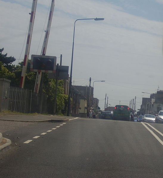
Galleries | A154 | Level Crossing | Felixstowe | Suffolk | Wig-wag | ||
File history
Click on a date/time to view the file as it appeared at that time.
| Date/Time | Thumbnail | Dimensions | User | Comment | |
|---|---|---|---|---|---|
| current | 15:35, 7 July 2009 | | 1,402 × 1,536 (713 KB) | M5lenzar (talk | contribs) | {{Information |description = The road into Felixstowe, which some maps consider to be part of the A14 |day = 02 |month = July |year = 2009 |photographer = M.Schueler |s |
File usage
The following 4 pages use this file: