File:A19 Road Bridge over the River Wear - Geograph - 1665042.jpg
Jump to navigation
Jump to search

No higher resolution available.
A19_Road_Bridge_over_the_River_Wear_-_Geograph_-_1665042.jpg (600 × 450 pixels, file size: 223 KB, MIME type: image/jpeg)
| |||||||||||||||||||||||||
|
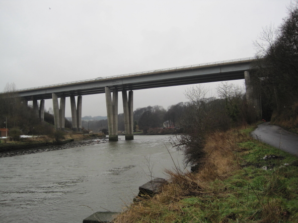
Galleries | A19 | A108 (Seaham - Seaton Burn) | Hylton Viaduct | Sunderland | ||
File history
Click on a date/time to view the file as it appeared at that time.
| Date/Time | Thumbnail | Dimensions | User | Comment | |
|---|---|---|---|---|---|
| current | 10:41, 9 July 2010 | | 600 × 450 (223 KB) | Bob@romiley1 (talk | contribs) | A19 Road Bridge over the River Wear |
File usage
The following 2 pages use this file: