File:A31 roundabout, St. Leonards, Dorset - Geograph - 84702.jpg
Jump to navigation
Jump to search

No higher resolution available.
A31_roundabout,_St._Leonards,_Dorset_-_Geograph_-_84702.jpg (640 × 481 pixels, file size: 98 KB, MIME type: image/jpeg)
| |||||||||||||||||||||||||
|
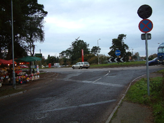
Galleries | A31 | D2 | Roundabout | ||
File history
Click on a date/time to view the file as it appeared at that time.
| Date/Time | Thumbnail | Dimensions | User | Comment | |
|---|---|---|---|---|---|
| current | 19:12, 5 September 2010 | | 640 × 481 (98 KB) | Bob@romiley1 (talk | contribs) | '''A31 roundabout, St. Leonards, Dorset'''<br/>This is the access road to Avon Heath Country Park. |
File usage
The following 2 pages use this file: