File:A33(NI).JPG

From Roader's Digest: The SABRE Wiki
Jump to navigation Jump to search

A33(NI).JPG(733 × 337 pixels, file size: 59 KB, MIME type: image/jpeg)

Y topleft.gifY topright.gif
Description:Old Barts map showing the A33 and the old route of the A34 This page contains scans from a map that is believed may be out of copyright according to UK Crown Copyright, UK Copyright Law for other maps published in the United Kingdom, or Irish Government Copyright, is not being used to generate profit in this context, and presents information that cannot be exhibited otherwise.
If the copyright holder considers this is an infringement of their rights, please contact the site management team to discuss further steps.
Location:This picture currently has no coords, edit this page to add them.
Road:A33 (Northern Ireland), A34 (Northern Ireland) , A3 (Northern Ireland)
Date:
Photographer:Si404
Source:
Y btmleft.gifY btmright.gif

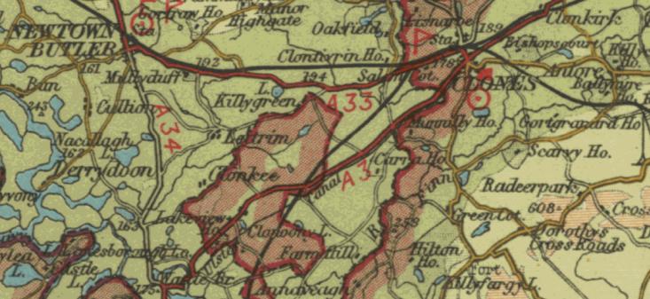
Galleries  | A33 (Northern Ireland) | A34 (Northern Ireland) | A3 (Northern Ireland) | Bartholomews Mapping | Clones


File history

Click on a date/time to view the file as it appeared at that time.

Date/TimeThumbnailDimensionsUserComment
current16:33, 15 October 2011Thumbnail for version as of 16:33, 15 October 2011733 × 337 (59 KB)Si404 (talk | contribs) {{newmap}}

SABRE - The Society for All British and Irish Road Enthusiasts
Discuss - Digest - Discover - Help