File:A38(M) For Birmingham - Near The End, Birmingham Skyline - Geograph - 1291182.jpg
Jump to navigation
Jump to search

No higher resolution available.
A38(M)_For_Birmingham_-_Near_The_End,_Birmingham_Skyline_-_Geograph_-_1291182.jpg (640 × 480 pixels, file size: 52 KB, MIME type: image/jpeg)
| |||||||||||||||||||||||||
|
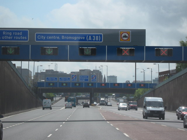
Galleries | A38(M) | Birmingham | Gantry Sign | Tidal Flow | ||
File history
Click on a date/time to view the file as it appeared at that time.
| Date/Time | Thumbnail | Dimensions | User | Comment | |
|---|---|---|---|---|---|
| current | 22:40, 14 December 2009 | | 640 × 480 (52 KB) | Jeni (talk | contribs) | {{Information |description = A38(M) For Birmingham - Near The End, Birmingham Skyline |day = 06 |month = 05 |year = 2009 |photographer = © Copyright [http://www.geograph.org.uk/profile/32682 Roy Hughes] and licensed for reuse und |
File usage
The following 2 pages use this file:
_For_Birmingham_-_Near_The_End,_Birmingham_Skyline_-_Geograph_-_1291182.jpg&oldid=158422)