File:A406 (Barking) - Coppermine - 5768.JPG
Jump to navigation
Jump to search

Size of this preview: 800 × 600 pixels. Other resolution: 1,280 × 960 pixels.
Original file (1,280 × 960 pixels, file size: 159 KB, MIME type: image/jpeg)
| |||||||||||||||||||||||||
|
Galleries | A406 | ||
File history
Click on a date/time to view the file as it appeared at that time.
| Date/Time | Thumbnail | Dimensions | User | Comment | |
|---|---|---|---|---|---|
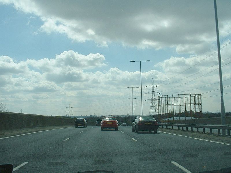
| current | 12:17, 17 March 2010 | | 1,280 × 960 (159 KB) | Jeni (talk | contribs) | '''A406 (Barking)''' When the South Woodford to Barking Relief Road opened in 1989, it was affectionately dubbed the Rollercoaster Highway by the local press. Just north of the A124 junction is a bridge over the c2c, Silverlink (Gospel Oak) and District |
File usage
There are no pages that use this file.
_-_Coppermine_-_5768.JPG&oldid=404534)