File:A409 road at Wealdstone - Geograph - 2154689.jpg
Jump to navigation
Jump to search

No higher resolution available.
A409_road_at_Wealdstone_-_Geograph_-_2154689.jpg (640 × 480 pixels, file size: 68 KB, MIME type: image/jpeg)
| |||||||||||||||||||||||||
File history
Click on a date/time to view the file as it appeared at that time.
| Date/Time | Thumbnail | Dimensions | User | Comment | |
|---|---|---|---|---|---|
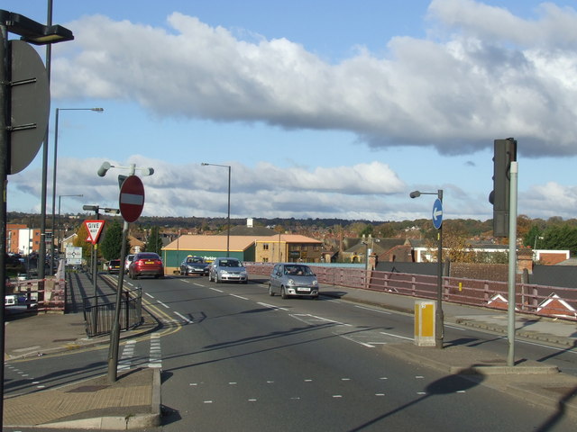
| current | 12:28, 6 May 2011 | | 640 × 480 (68 KB) | Si404 (talk | contribs) | '''A409 road at Wealdstone'''<br/>The A409 road has been diverted away from Wealdstone High Street. the road is already at a raised level, crossing the railway (behind the photographer), and continues on another bridge before descending back to ground le |
File usage
The following page uses this file: