File:A4150plan.jpg
Jump to navigation
Jump to search

Size of this preview: 800 × 600 pixels. Other resolution: 2,048 × 1,536 pixels.
Original file (2,048 × 1,536 pixels, file size: 1.37 MB, MIME type: image/jpeg)
File history
Click on a date/time to view the file as it appeared at that time.
| Date/Time | Thumbnail | Dimensions | User | Comment | |
|---|---|---|---|---|---|
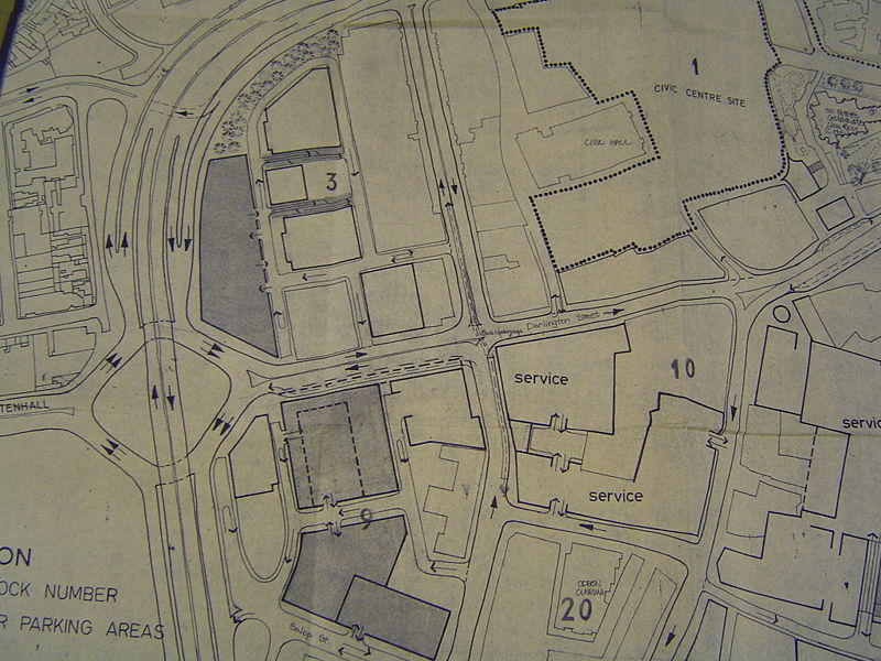
| current | 14:23, 14 July 2009 | | 2,048 × 1,536 (1.37 MB) | Steven (talk | contribs) | {{Information |description = Planning documentation section of A4150, St. Andrew's section |day = |month = |year = |photographer = |source = Wolverhampton City Archives |road |
File usage
The following page uses this file: