File:A41 Langley Bypass - Geograph - 156572.jpg
Jump to navigation
Jump to search

No higher resolution available.
A41_Langley_Bypass_-_Geograph_-_156572.jpg (640 × 480 pixels, file size: 96 KB, MIME type: image/jpeg)
| |||||||||||||||||||||||||
|
Galleries | A41 | Hemel Hempstead | D2 | ||
File history
Click on a date/time to view the file as it appeared at that time.
| Date/Time | Thumbnail | Dimensions | User | Comment | |
|---|---|---|---|---|---|
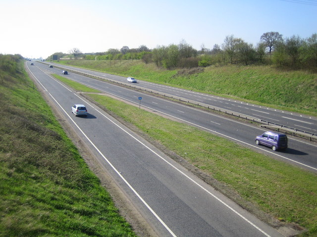
| current | 16:29, 8 April 2010 | | 640 × 480 (96 KB) | Sabristo simon (talk | contribs) | '''A41 Langley Bypass'''<br/>Viewed from the Featherbed Lane overbridge in Apsley, the bypass was built in 1993. |
File usage
There are no pages that use this file.