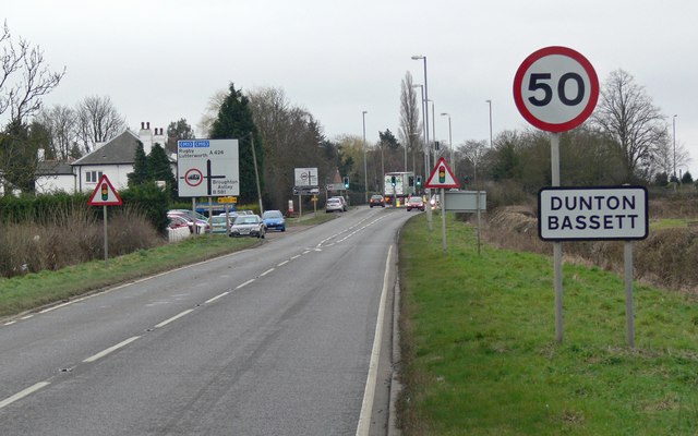
File:A426 Lutterworth Road at Dunton Bassett.jpg
Jump to navigation
Jump to search

No higher resolution available.
A426_Lutterworth_Road_at_Dunton_Bassett.jpg (640 × 400 pixels, file size: 58 KB, MIME type: image/jpeg)
| |||||||||||||||||||||||||
|
Galleries | A426 | Speed limit sign/50 mph | Warning Sign/Traffic Signals | Advance Direction Sign | ||
File history
Click on a date/time to view the file as it appeared at that time.
| Date/Time | Thumbnail | Dimensions | User | Comment | |
|---|---|---|---|---|---|
| current | 18:07, 24 August 2009 | | 640 × 400 (58 KB) | Jeni (talk | contribs) | {{Information |description =A426 Lutterworth Road at Dunton Bassett |day = 24 |month = 02 |year = 2008 |photographer = © Copyright [http://www.geograph.org.uk/profile/11776 Mat Fascione] and licensed for reuse under [http://c |
File usage
There are no pages that use this file.