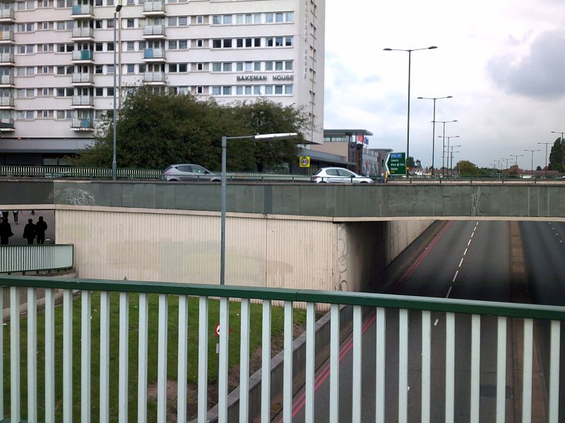
A view of the eastbound A45 from the interior of Swan Island, its junction with the A4040. The main line of the road can be seen at the bottom of the picture; the exit sliproad joining onto it can (just about) be seen next to the 40mph speed limit sign. At the time this picture was taken (around 3pm on a weekday), there was considerably more traffic on the roundabout itself (and the sliproads leading to it) than there was on the A45 underneath the roundabout; normally I try to wait for periods of low traffic when taking a photo (sort-of like crossing a road), but in this case I didn't have to.
A view of the eastbound A45 from the interior of Swan Island, its junction with the A4040. The main line of the road can be seen at the bottom of the picture; the exit sliproad joining onto it can (just about) be seen next to the 40mph spee...
