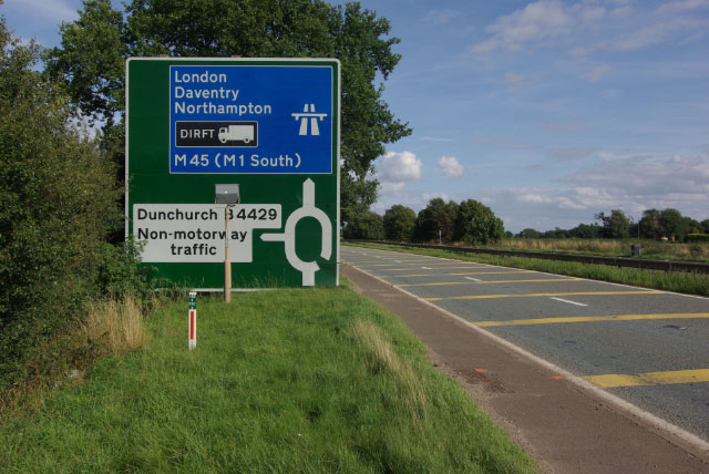
File:A45 west of Dunchurch - Geograph - 1425271.jpg
Jump to navigation
Jump to search

No higher resolution available.
A45_west_of_Dunchurch_-_Geograph_-_1425271.jpg (640 × 428 pixels, file size: 92 KB, MIME type: image/jpeg)
| |||||||||||||||||||||||||
|
Galleries | A45 | M45 | Advance Direction Sign | Chopsticks | Rugby | Thurlaston Interchange | ||
File history
Click on a date/time to view the file as it appeared at that time.
| Date/Time | Thumbnail | Dimensions | User | Comment | |
|---|---|---|---|---|---|
| current | 15:29, 15 December 2009 | | 640 × 428 (92 KB) | Jeni (talk | contribs) | {{Information |description = A45 west of Dunchurch |day = 02 |month = 08 |year = 2009 |photographer = © Copyright [http://www.geograph.org.uk/profile/1621 Stephen McKay] and licensed for reuse under [http://creativecommons.org/li |
File usage
The following 4 pages use this file: