File:A49 Warrington Road, Ashton-in-Makerfield - Coppermine - 1551.jpg
Jump to navigation
Jump to search

No higher resolution available.
A49_Warrington_Road,_Ashton-in-Makerfield_-_Coppermine_-_1551.jpg (640 × 480 pixels, file size: 74 KB, MIME type: image/jpeg)
| |||||||||||||||||||||||||
|
Galleries | A49 | ||
File history
Click on a date/time to view the file as it appeared at that time.
| Date/Time | Thumbnail | Dimensions | User | Comment | |
|---|---|---|---|---|---|
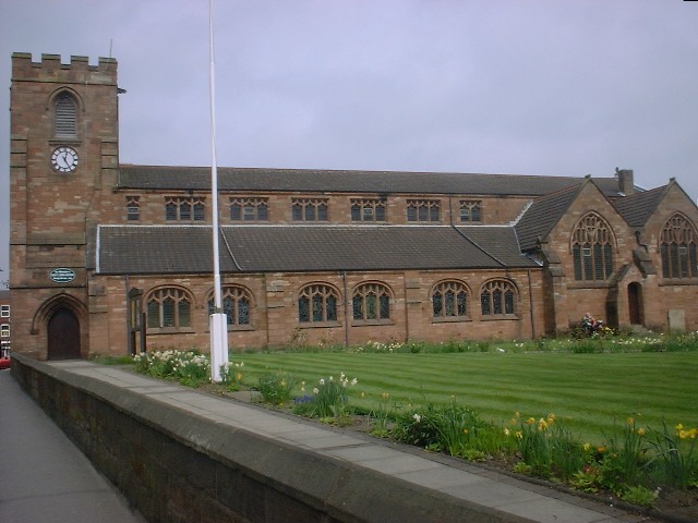
| current | 16:03, 9 June 2013 | | 640 × 480 (74 KB) | Vlad (talk | contribs) | '''A49 Warrington Road, Ashton-in-Makerfield''' Taken from the road, here's St. Thomas's Church, near Ashton town centre. <small>''Originally uploaded to Coppermine on Apr 26, 2005 by antster1983''</small> |
File usage
There are no pages that use this file.