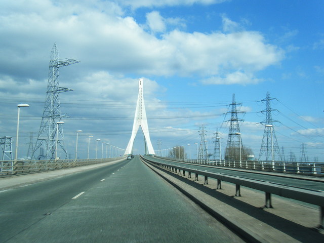
File:A548 on the Dee Bridge approach (C) Colin Pyle - Geograph - 3395924.jpg
Jump to navigation
Jump to search

No higher resolution available.
A548_on_the_Dee_Bridge_approach_(C)_Colin_Pyle_-_Geograph_-_3395924.jpg (640 × 480 pixels, file size: 59 KB, MIME type: image/jpeg)
| |||||||||||||||||||||||||
|
Galleries | A548 | Flintshire Leisure Tour | Flintshire Bridge | ||
File history
Click on a date/time to view the file as it appeared at that time.
| Date/Time | Thumbnail | Dimensions | User | Comment | |
|---|---|---|---|---|---|
| current | 17:54, 23 February 2014 | | 640 × 480 (59 KB) | Vlad (talk | contribs) | A548 on the Dee Bridge approach (C) Colin Pyle |
File usage
The following 2 pages use this file:
_Colin_Pyle_-_Geograph_-_3395924.jpg&oldid=505009)