File:A5 near the Brickhills - Geograph - 367469.jpg
Jump to navigation
Jump to search

Size of this preview: 546 × 599 pixels. Other resolution: 583 × 640 pixels.
Original file (583 × 640 pixels, file size: 179 KB, MIME type: image/jpeg)
| |||||||||||||||||||||||||
|
Galleries | A5 | Watling Street | ||
File history
Click on a date/time to view the file as it appeared at that time.
| Date/Time | Thumbnail | Dimensions | User | Comment | |
|---|---|---|---|---|---|
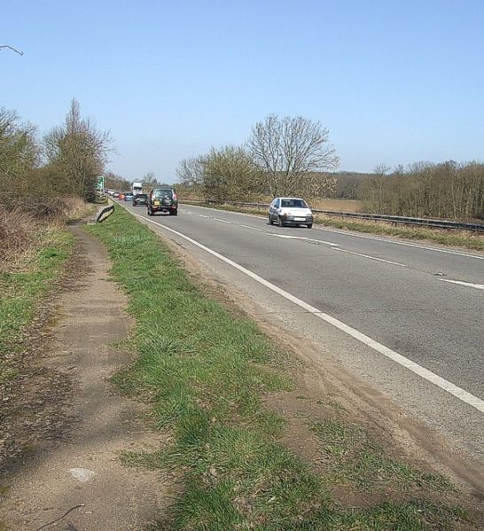
| current | 15:23, 11 January 2010 | | 583 × 640 (179 KB) | Jeni (talk | contribs) | {{Information |description = A5 near the Brickhills |day = 14 |month = 03 |year = 2007 |photographer = © Copyright [http://www.geograph.org.uk/profile/3546 Rob Farrow] and licensed for reuse under [http://creativecommons.org/lice |
File usage
The following page uses this file: