File:A6033 002.JPG
Jump to navigation
Jump to search

Size of this preview: 800 × 543 pixels. Other resolution: 1,167 × 792 pixels.
Original file (1,167 × 792 pixels, file size: 134 KB, MIME type: image/jpeg)
| |||||||||||||||||||||||||
|
Galleries | A6033 | A681 | Advance Direction Sign | ||
File history
Click on a date/time to view the file as it appeared at that time.
| Date/Time | Thumbnail | Dimensions | User | Comment | |
|---|---|---|---|---|---|
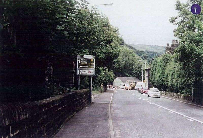
| current | 12:29, 9 July 2010 | | 1,167 × 792 (134 KB) | Bryn666 (talk | contribs) | A6033/A681 junction in Gauxholme, Todmorden in 1996. |
File usage
The following page uses this file: