File:A6033 Pecket Well Descent.JPG
Jump to navigation
Jump to search

Size of this preview: 800 × 600 pixels. Other resolution: 1,600 × 1,200 pixels.
Original file (1,600 × 1,200 pixels, file size: 246 KB, MIME type: image/jpeg)
| |||||||||||||||||||||||||
|
Galleries | A6033 | B603 | Regulatory Sign | S2 | ||
File history
Click on a date/time to view the file as it appeared at that time.
| Date/Time | Thumbnail | Dimensions | User | Comment | |
|---|---|---|---|---|---|
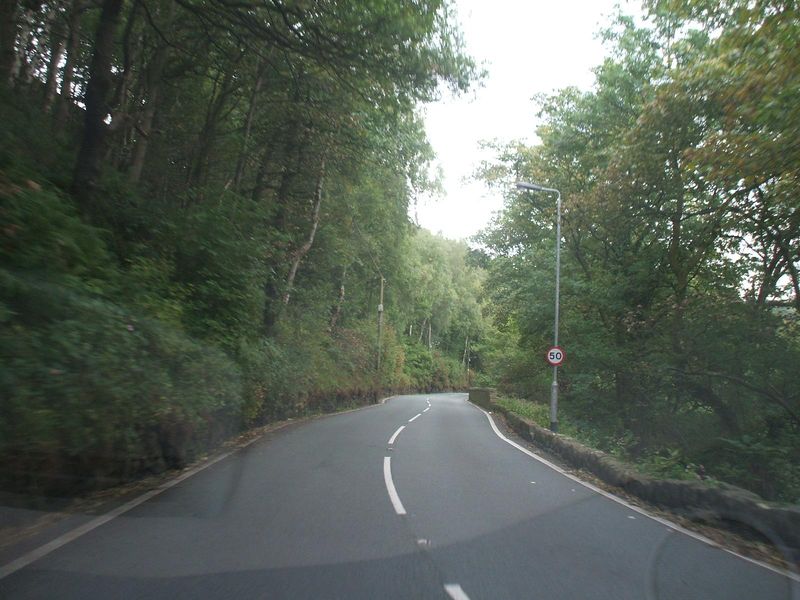
| current | 20:03, 22 September 2010 | | 1,600 × 1,200 (246 KB) | Bryn666 (talk | contribs) | The 'ridge' between Peckett Well and Hebden Bridge. |
File usage
The following 3 pages use this file: