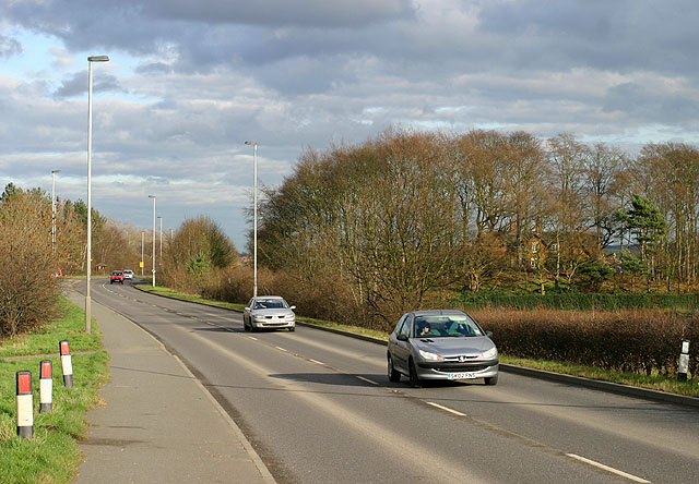
File:A6075 near Thoresby Colliery - Geograph - 349338.jpg
Jump to navigation
Jump to search

No higher resolution available.
A6075_near_Thoresby_Colliery_-_Geograph_-_349338.jpg (640 × 444 pixels, file size: 87 KB, MIME type: image/jpeg)
| |||||||||||||||||||||||||
|
Galleries | A6075 | B6033 (Mansfield Woodhouse - Darlton) | S2 | ||
File history
Click on a date/time to view the file as it appeared at that time.
| Date/Time | Thumbnail | Dimensions | User | Comment | |
|---|---|---|---|---|---|
| current | 15:16, 11 December 2009 | | 640 × 444 (87 KB) | Bob@romiley1 (talk | contribs) | {{Information |description = A6075 near Thoresby Colliery |day = 21 |month = 02 |year = 2007 |photographer = © Copyright [http://www.geograph.org.uk/profile/10812 Martin Loader] and licensed for reuse under [http://creativecommon |
File usage
The following 4 pages use this file: