File:A629 a6025 2003.JPG
Jump to navigation
Jump to search

Size of this preview: 800 × 600 pixels. Other resolution: 1,024 × 768 pixels.
Original file (1,024 × 768 pixels, file size: 122 KB, MIME type: image/jpeg)
| |||||||||||||||||||||||||
|
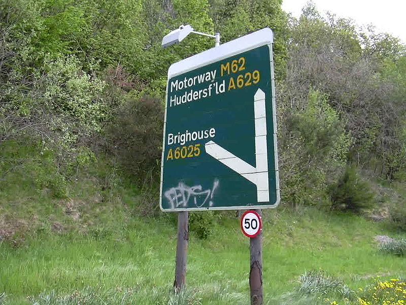
Galleries | A629 | A6025 | Halifax | Fork sign | Speed limit sign/50 mph | ||
File history
Click on a date/time to view the file as it appeared at that time.
| Date/Time | Thumbnail | Dimensions | User | Comment | |
|---|---|---|---|---|---|
| current | 12:59, 11 February 2010 | | 1,024 × 768 (122 KB) | Bryn666 (talk | contribs) | {{Information |description = A629/A6025 junction ADS in 2003 |day = |month = |year = 2003 |photographer = |source = Calderdale MBC |road = A629 |road2 = A6025 |road3 = |lat = 53.6882446 |ln |
File usage
There are no pages that use this file.