File:A71 - M74 Road Junction - Geograph - 1789409.jpg
Jump to navigation
Jump to search

No higher resolution available.
A71_-_M74_Road_Junction_-_Geograph_-_1789409.jpg (640 × 480 pixels, file size: 54 KB, MIME type: image/jpeg)
| |||||||||||||||||||||||||
|
Galleries | A71 | M74 | Canderside Toll | S2 | ||
File history
Click on a date/time to view the file as it appeared at that time.
| Date/Time | Thumbnail | Dimensions | User | Comment | |
|---|---|---|---|---|---|
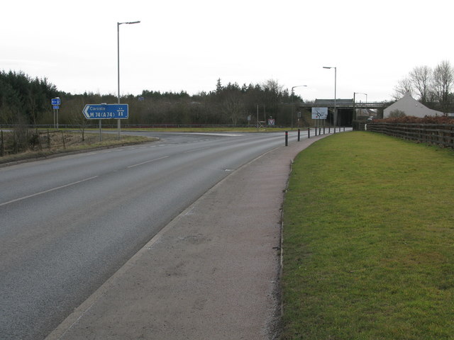
| current | 07:30, 13 September 2010 | | 640 × 480 (54 KB) | Abeaton (talk | contribs) | '''A71 - M74 Road Junction'''<br/>Looking along the A71 towards Canderside Toll with the sliproad to and from the southbound carriageway of the M74 on the left. |
File usage
The following 5 pages use this file: