File:A720 northbound - Geograph - 3396239.jpg
Jump to navigation
Jump to search

No higher resolution available.
A720_northbound_-_Geograph_-_3396239.jpg (640 × 522 pixels, file size: 31 KB, MIME type: image/jpeg)
| |||||||||||||||||||||||||
|
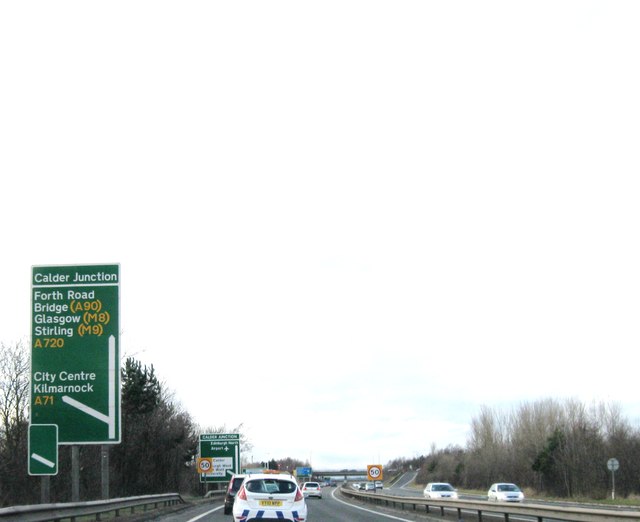
Galleries | A720 | Calder Junction | Fork sign | ||
File history
Click on a date/time to view the file as it appeared at that time.
| Date/Time | Thumbnail | Dimensions | User | Comment | |
|---|---|---|---|---|---|
| current | 13:34, 2 June 2016 | | 640 × 522 (31 KB) | Jeni (talk | contribs) | '''A720 northbound''' |
File usage
The following 2 pages use this file: