File:A74(M) - Geograph - 319562.jpg
Jump to navigation
Jump to search

No higher resolution available.
A74(M)_-_Geograph_-_319562.jpg (640 × 480 pixels, file size: 230 KB, MIME type: image/jpeg)
| |||||||||||||||||||||||||
|
Galleries | A74(M) | A74 | E05 | Gretna | Guards Mill Interchange | Chopsticks | Cumberland Gap | ||
File history
Click on a date/time to view the file as it appeared at that time.
| Date/Time | Thumbnail | Dimensions | User | Comment | |
|---|---|---|---|---|---|
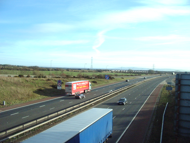
| current | 17:00, 27 May 2011 | | 640 × 480 (230 KB) | Si404 (talk | contribs) | '''A74(M)'''<br/>Looking south at the first 400m of the A74(M)beyond that it is still the A74. This section will be upgraded to full motorway standards by the end of 2008 |
File usage
The following page uses this file:
_-_Geograph_-_319562.jpg&oldid=354367)