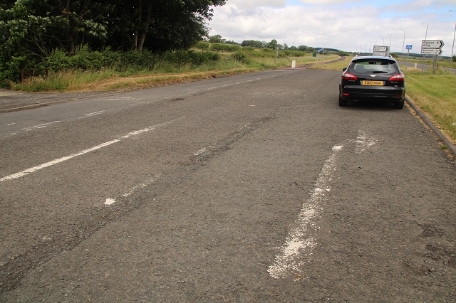
The A77 at the Galston Road End junction with the A719, showing the former lane markings on the old northbound carriageway, now used for parking and the cycle route.
The A77 at the Galston Road End junction with the A719, showing the former lane markings on the old northbound carriageway, now used for parking and the cycle route.
