File:A830 Loch nan Uamh.JPG
Jump to navigation
Jump to search

Size of this preview: 800 × 600 pixels. Other resolutions: 2,560 × 1,920 pixels | 4,000 × 3,000 pixels.
Original file (4,000 × 3,000 pixels, file size: 3.05 MB, MIME type: image/jpeg)
| |||||||||||||||||||||||||
|
Galleries | A830 | Road to the Isles | S2 | Photo of the Month January 2012 | Photo of the Month Winners | ||
File history
Click on a date/time to view the file as it appeared at that time.
| Date/Time | Thumbnail | Dimensions | User | Comment | |
|---|---|---|---|---|---|
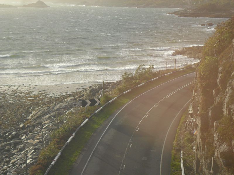
| current | 21:19, 21 December 2011 | | 4,000 × 3,000 (3.05 MB) | Erath (talk | contribs) | The A830 Road to the Isles on the shore of Loch nan Uamh, a mile or so east of Beasdale. |
File usage
The following page uses this file: