File:A85-wade1.jpg
Jump to navigation
Jump to search

Size of this preview: 400 × 600 pixels. Other resolution: 427 × 640 pixels.
Original file (427 × 640 pixels, file size: 203 KB, MIME type: image/jpeg)
| |||||||||||||||||||||||||
|
Galleries | A85/Glen Ogle | Wades Military Roads | ||
File history
Click on a date/time to view the file as it appeared at that time.
| Date/Time | Thumbnail | Dimensions | User | Comment | |
|---|---|---|---|---|---|
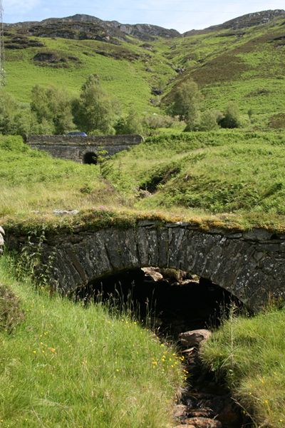
| current | 19:52, 4 July 2011 | | 427 × 640 (203 KB) | Rileyrob (talk | contribs) | Two bridges in Glen Ogle. In the foreground the old military road built by Cauldfeild in the 1750s, and in the background the current A85 route. |
File usage
There are no pages that use this file.