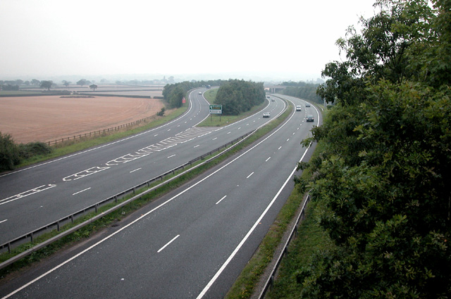
File:A 55 Trunk route at Broughton - Geograph - 47020.jpg
Jump to navigation
Jump to search

No higher resolution available.
A_55_Trunk_route_at_Broughton_-_Geograph_-_47020.jpg (640 × 425 pixels, file size: 150 KB, MIME type: image/jpeg)
| |||||||||||||||||||||||||
|
Galleries | A55 | Ffordd Gogledd Cymru | Chester | Broughton Junction | ||
File history
Click on a date/time to view the file as it appeared at that time.
| Date/Time | Thumbnail | Dimensions | User | Comment | |
|---|---|---|---|---|---|
| current | 01:59, 31 December 2009 | | 640 × 425 (150 KB) | Jeni (talk | contribs) | {{Information |description = A 55 Trunk route at Broughton |day = 31 |month = 08 |year = 2005 |photographer = © Copyright [http://www.geograph.org.uk/profile/1486 Dennis Turner] and licensed for reuse under [http://creativecommon |
File usage
The following page uses this file: