File:A lot to take in, Shrewsbury - Geograph - 4004918.jpg
Jump to navigation
Jump to search

No higher resolution available.
A_lot_to_take_in,_Shrewsbury_-_Geograph_-_4004918.jpg (640 × 480 pixels, file size: 83 KB, MIME type: image/jpeg)
| |||||||||||||||||||||||||
|
Galleries | A49 | A458 | Shrewsbury | ||
File history
Click on a date/time to view the file as it appeared at that time.
| Date/Time | Thumbnail | Dimensions | User | Comment | |
|---|---|---|---|---|---|
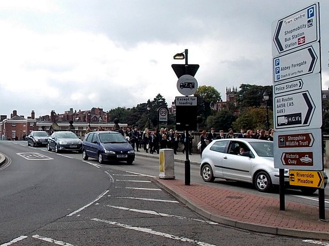
| current | 15:56, 22 June 2016 | | 640 × 480 (83 KB) | M4simon (talk | contribs) | '''A lot to take in, Shrewsbury''' At the eastern edge of English Bridge http://www.geograph.org.uk/photo/4004904 many destinations are shown, left and right. This bridge carried the former A49 across the Severn. |
File usage
The following page uses this file: