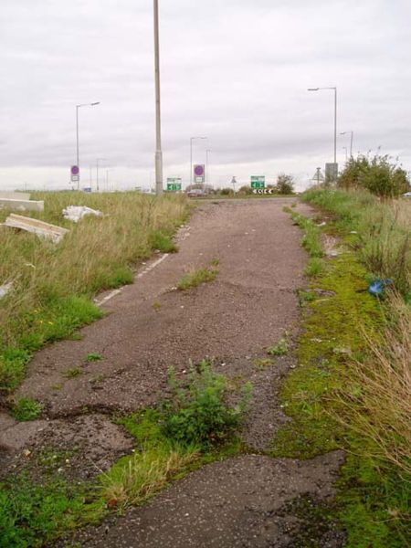
File:Abandoned section of the A10 - Geograph - 74703.jpg
Jump to navigation
Jump to search

Size of this preview: 450 × 600 pixels. Other resolution: 480 × 640 pixels.
Original file (480 × 640 pixels, file size: 76 KB, MIME type: image/jpeg)
| |||||||||||||||||||||||||
|
Galleries | A10 | Abandoned Road | ||
File history
Click on a date/time to view the file as it appeared at that time.
| Date/Time | Thumbnail | Dimensions | User | Comment | |
|---|---|---|---|---|---|
| current | 16:07, 30 December 2009 | | 480 × 640 (76 KB) | Jeni (talk | contribs) | {{Information |description = Abandoned section of the A10 |day = 05 |month = 11 |year = 2005 |photographer = © Copyright [http://www.geograph.org.uk/profile/700 David Gruar] and licensed for reuse under [http://creativecommons.or |
File usage
There are no pages that use this file.