File:Abingdon Bridge - Geograph - 291335.jpg
Jump to navigation
Jump to search

No higher resolution available.
Abingdon_Bridge_-_Geograph_-_291335.jpg (640 × 480 pixels, file size: 462 KB, MIME type: image/jpeg)
| |||||||||||||||||||||||||
|
Galleries | A415 | Abingdon Bridge | ||
File history
Click on a date/time to view the file as it appeared at that time.
| Date/Time | Thumbnail | Dimensions | User | Comment | |
|---|---|---|---|---|---|
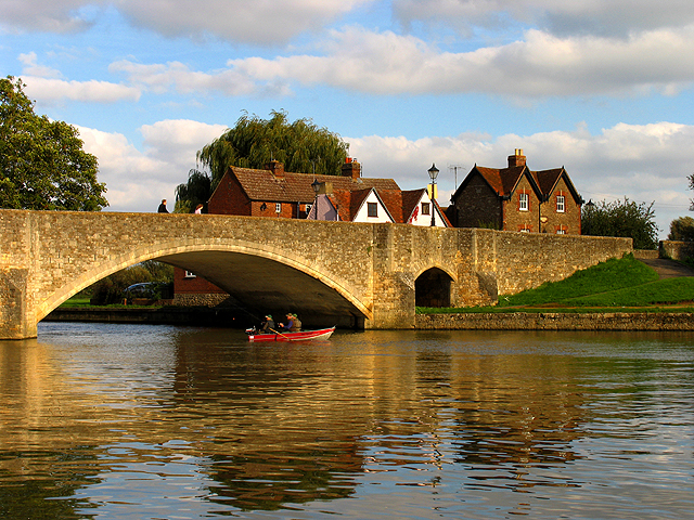
| current | 13:45, 24 May 2010 | | 640 × 480 (462 KB) | Bob@romiley1 (talk | contribs) | '''Abingdon Bridge'''<br/>A view of Abingdon Bridge from the boat house and showing the footpath bridge as seen in another submission for this square. |
File usage
The following 2 pages use this file: