File:Another Bit of the Old A985 - Geograph - 3083913.jpg
Jump to navigation
Jump to search

No higher resolution available.
Another_Bit_of_the_Old_A985_-_Geograph_-_3083913.jpg (640 × 425 pixels, file size: 100 KB, MIME type: image/jpeg)
| |||||||||||||||||||||||||
|
Galleries | A985 | B912 (Limekilns - Torryburn) | Abandoned Road | ||
File history
Click on a date/time to view the file as it appeared at that time.
| Date/Time | Thumbnail | Dimensions | User | Comment | |
|---|---|---|---|---|---|
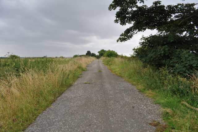
| current | 20:20, 22 August 2012 | | 640 × 425 (100 KB) | Halmyre (talk | contribs) | Part of the old A985. This was part of the stretch between Torryburn and Crombie. |
| 21:11, 15 August 2012 |  | 640 × 425 (100 KB) | Halmyre (talk | contribs) | This section of the former A985 runs from the B9037 at the railway bridge near Torryburn and meets the existing A985 north-west of Crombie. |
File usage
The following 4 pages use this file: