File:Approach to a bridge over Allt na Coille - Geograph - 443230.jpg
Jump to navigation
Jump to search

No higher resolution available.
Approach_to_a_bridge_over_Allt_na_Coille_-_Geograph_-_443230.jpg (640 × 459 pixels, file size: 69 KB, MIME type: image/jpeg)
| |||||||||||||||||||||||||
|
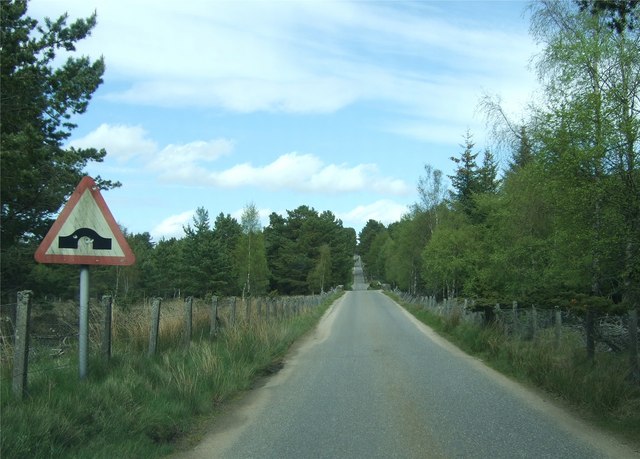
Galleries | B976 | S1 | Warning Sign/Hump Bridge | ||
File history
Click on a date/time to view the file as it appeared at that time.
| Date/Time | Thumbnail | Dimensions | User | Comment | |
|---|---|---|---|---|---|
| current | 16:38, 17 January 2010 | | 640 × 459 (69 KB) | Bob@romiley1 (talk | contribs) | {{Information |description = Approach to a bridge over Allt na Coille |day = 23 |month = 05 |year = 2007 |photographer = © Copyright [http://www.geograph.org.uk/profile/7629 Stanley Howe] and licensed for reuse under [http://crea |
File usage
The following page uses this file: