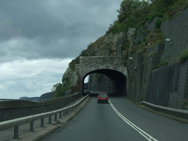
File:Approaching Pen-y-Clip tunnel on A55 eastbound - Geograph - 1470272.jpg
Jump to navigation
Jump to search

No higher resolution available.
Approaching_Pen-y-Clip_tunnel_on_A55_eastbound_-_Geograph_-_1470272.jpg (640 × 480 pixels, file size: 51 KB, MIME type: image/jpeg)
| |||||||||||||||||||||||||
|
Galleries | A55 | E22 | Ffordd Gogledd Cymru | ||
File history
Click on a date/time to view the file as it appeared at that time.
| Date/Time | Thumbnail | Dimensions | User | Comment | |
|---|---|---|---|---|---|
| current | 17:50, 7 September 2009 | | 640 × 480 (51 KB) | Jeni (talk | contribs) | {{Information |description = Approaching Pen-y-Clip tunnel on A55 eastbound |day = 02 |month = 09 |year = 2009 |photographer = © Copyright [http://www.geograph.org.uk/profile/38036 Richard Hoare] and licensed for reuse under [htt |
File usage
There are no pages that use this file.