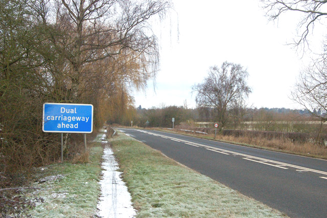
File:Approaching dual carriageway section of the A45 south of Dunchurch - Geograph - 1691443.jpg
Jump to navigation
Jump to search

No higher resolution available.
Approaching_dual_carriageway_section_of_the_A45_south_of_Dunchurch_-_Geograph_-_1691443.jpg (640 × 426 pixels, file size: 112 KB, MIME type: image/jpeg)
| |||||||||||||||||||||||||
|
Galleries | A45 | Information Sign | ||
File history
Click on a date/time to view the file as it appeared at that time.
| Date/Time | Thumbnail | Dimensions | User | Comment | |
|---|---|---|---|---|---|
| current | 16:21, 5 February 2010 | | 640 × 426 (112 KB) | Jeni (talk | contribs) | {{Information |description = Approaching dual carriageway section of the A45 south of Dunchurch |day = 31 |month = 01 |year = 2010 |photographer = © Copyright [http://www.geograph.org.uk/profile/32299 Andy F] and licensed for reu |
File usage
There are no pages that use this file.