File:Ashford-in-the-Water.JPG
Jump to navigation
Jump to search

Size of this preview: 800 × 600 pixels. Other resolution: 2,592 × 1,944 pixels.
Original file (2,592 × 1,944 pixels, file size: 1.12 MB, MIME type: image/jpeg)
| ||||||||||||||
File history
Click on a date/time to view the file as it appeared at that time.
| Date/Time | Thumbnail | Dimensions | User | Comment | |
|---|---|---|---|---|---|
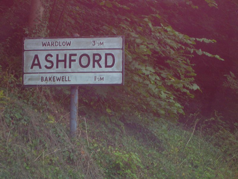
| current | 19:43, 29 October 2011 | | 2,592 × 1,944 (1.12 MB) | Simon a6(m) (talk | contribs) | Old village sign north of Ashford-in-the-Water, Derbyshire - originally on A6, then A6020, and now an unclassified road. |
File usage
The following file is a duplicate of this file (more details):
The following page uses this file: