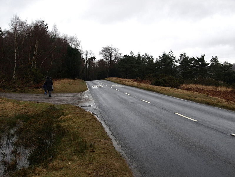
The B2026 in Ashdown Forest. In common with National Parks, the area is subject to a blanket 40 mph speed limit, which is posted in roundels painted on the carriageway.
{{Information |description = The B2026 in Ashdown Forest. In common with National Parks, the area is subject to a blanket 40 mph speed limit, which is posted in roundels painted on the carriageway. |day = 21 |month = 02 |year = 20
