File:B2168.png

From Roader's Digest: The SABRE Wiki
Jump to navigation Jump to search

Original file(780 × 687 pixels, file size: 689 KB, MIME type: image/png)

Y topleft.gifY topright.gif
Description:B2168 in New Romney This page contains scans from a map that is believed may be out of copyright according to UK Crown Copyright, UK Copyright Law for other maps published in the United Kingdom, or Irish Government Copyright, is not being used to generate profit in this context, and presents information that cannot be exhibited otherwise.
If the copyright holder considers this is an infringement of their rights, please contact the site management team to discuss further steps.
Location:50.9868824, 0.9389448
Road:B2168 (New Romney)
Date:
Photographer:Ordnance Survey
Source:6' / mile sheet of New Romney

Map

Y btmleft.gifY btmright.gif

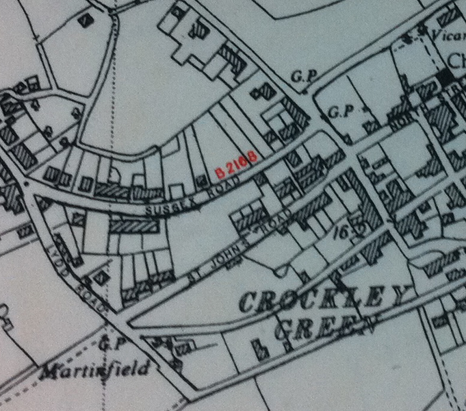
Galleries  | B2168 (New Romney) | OS Mapping


File history

Click on a date/time to view the file as it appeared at that time.

Date/TimeThumbnailDimensionsUserComment
current10:36, 4 July 2011Thumbnail for version as of 10:36, 4 July 2011780 × 687 (689 KB)Ritchie333 (talk | contribs)B2168 in New Romney

The following page uses this file:

SABRE - The Society for All British and Irish Road Enthusiasts
Discuss - Digest - Discover - Help