File:B7078 (ex A74) Lesmahagow - Coppermine - 18645.JPG
Jump to navigation
Jump to search

Size of this preview: 799 × 599 pixels. Other resolution: 909 × 682 pixels.
Original file (909 × 682 pixels, file size: 80 KB, MIME type: image/jpeg)
| |||||||||||||||||||||||||
|
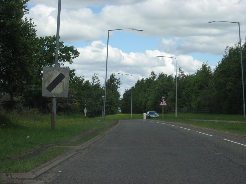
Galleries | B7078 | A74 | National speed limit | Warning Sign/Two Way Traffic | ||
File history
Click on a date/time to view the file as it appeared at that time.
| Date/Time | Thumbnail | Dimensions | User | Comment | |
|---|---|---|---|---|---|
| current | 17:18, 26 March 2010 | | 909 × 682 (80 KB) | Rileyrob (talk | contribs) | '''B7078 (ex A74) Lesmahagow''' Looking north, at this point the D2 alignment goes back down to S2 just south of the Lesmahagow truckstop (J10), but I'm pretty sure it would've continued as D2 to just south of Blackwood, where there's plenty of evidence |
File usage
There are no pages that use this file.
_Lesmahagow_-_Coppermine_-_18645.JPG&oldid=313782)