File:B8040-oich1.jpg
Jump to navigation
Jump to search

Size of this preview: 400 × 600 pixels. Other resolution: 427 × 640 pixels.
Original file (427 × 640 pixels, file size: 227 KB, MIME type: image/jpeg)
| |||||||||||||||||||||||||
|
Galleries | B8040 | Wade's Military Roads | Abandoned Road | ||
File history
Click on a date/time to view the file as it appeared at that time.
| Date/Time | Thumbnail | Dimensions | User | Comment | |
|---|---|---|---|---|---|
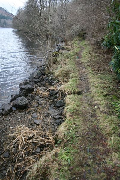
| current | 21:18, 5 February 2010 | | 427 × 640 (227 KB) | Rileyrob (talk | contribs) | {{Information |description = The former B8040 alongside Loch Oich. The Kerbstones can be seen on the 'beach'... |day = 5 |month = 2 |year = 10 |photographer = User:rileyrob |source = |road = B8040 |road2 |
File usage
The following 3 pages use this file: