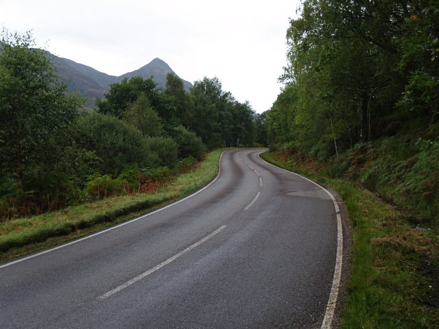
File:B863 on the N side of Loch Leven - Geograph - 559605.jpg
Jump to navigation
Jump to search

No higher resolution available.
B863_on_the_N_side_of_Loch_Leven_-_Geograph_-_559605.jpg (640 × 480 pixels, file size: 76 KB, MIME type: image/jpeg)
| |||||||||||||||||||||||||
|
Galleries | B863 | Argyll Coastal Route | S2 | ||
File history
Click on a date/time to view the file as it appeared at that time.
| Date/Time | Thumbnail | Dimensions | User | Comment | |
|---|---|---|---|---|---|
| current | 18:33, 10 January 2010 | | 640 × 480 (76 KB) | Bob@romiley1 (talk | contribs) | {{Information |description = B863 on the N side of Loch Leven |day = 15 |month = 09 |year = 2007 |photographer = © Copyright [http://www.geograph.org.uk/profile/1105 Chris Eilbeck] and licensed for reuse under [http://creativecom |
File usage
There are no pages that use this file.