File:Barrington- Haslingfield Road level crossing - Geograph - 2433011.jpg
Jump to navigation
Jump to search

No higher resolution available.
Barrington-_Haslingfield_Road_level_crossing_-_Geograph_-_2433011.jpg (640 × 480 pixels, file size: 74 KB, MIME type: image/jpeg)
| |||||||||||||||||||||||||
|
Galleries | C261 (Cambridgeshire) | Level Crossing | Cambridgeshire | ||
File history
Click on a date/time to view the file as it appeared at that time.
| Date/Time | Thumbnail | Dimensions | User | Comment | |
|---|---|---|---|---|---|
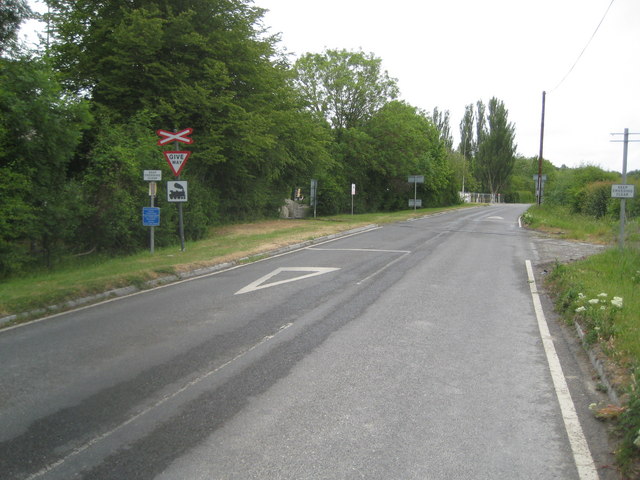
| current | 15:20, 7 December 2017 | | 640 × 480 (74 KB) | C2r (talk | contribs) | '''Barrington- Haslingfield Road level crossing''' The level crossing enabled railway freight trains to access the Barrington Cement Works. The railway was closed in 2005 and cement production operations at the works ceased in 2009. |
File usage
The following 2 pages use this file: