File:Bassetts Pole Public House and signpost - Geograph - 369725.jpg
Jump to navigation
Jump to search

No higher resolution available.
Bassetts_Pole_Public_House_and_signpost_-_Geograph_-_369725.jpg (640 × 480 pixels, file size: 87 KB, MIME type: image/jpeg)
| |||||||||||||||||||||||||
|
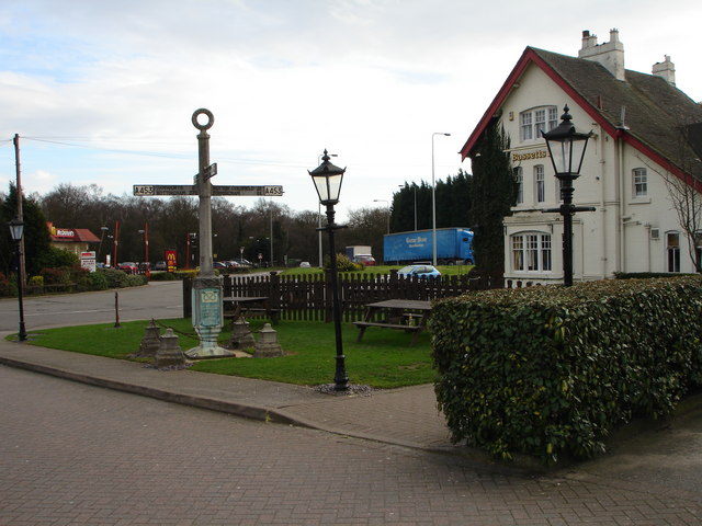
Galleries | A453 | A446 | Pre-Worboys Fingerpost Signs | Bassetts Pole | ||
File history
Click on a date/time to view the file as it appeared at that time.
| Date/Time | Thumbnail | Dimensions | User | Comment | |
|---|---|---|---|---|---|
| current | 17:29, 26 December 2009 | | 640 × 480 (87 KB) | Jeni (talk | contribs) | {{Information |description = Bassetts Pole Public House and signpost |day = 17 |month = 03 |year = 2007 |photographer = © Copyright [http://www.geograph.org.uk/profile/12355 Pat Gumbley] and licensed for reuse under [http://creat |
File usage
The following 2 pages use this file: