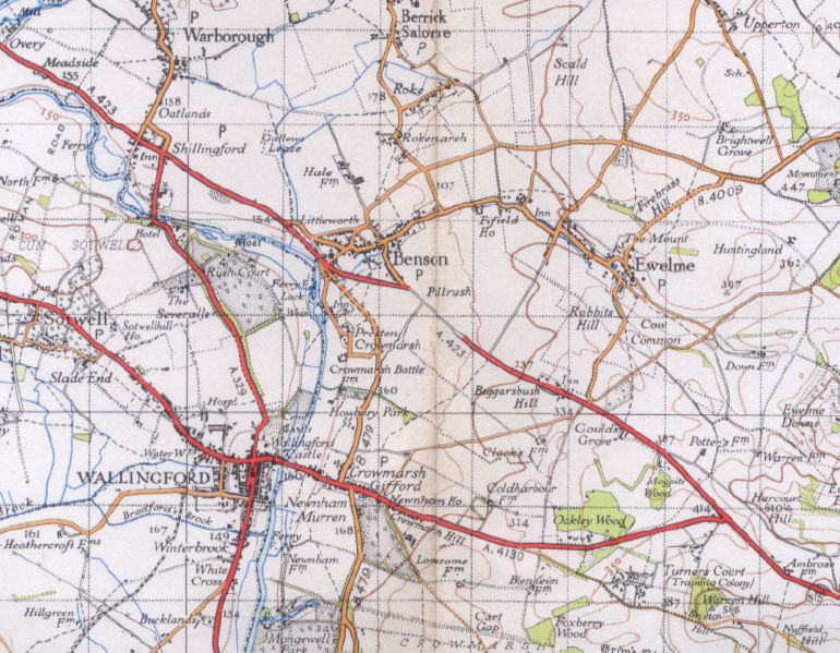
There's something here, but we're not going to tell you what it is... We're just going to do something very strange with the road symbol! Presuming the airfield was built around the time of the Battle of Britain, the OS had 8 years, and one revision of the 1' series, to be a little more convincing about this!
Originally uploaded to Coppermine on May 20, 2006 by FosseWay
This page contains scans from a map that is believed may be out of copyright according to UK Crown Copyright, UK Copyright Law for other maps published in the United Kingdom, or Irish Government Copyright, is not being used to generate profit in this context, and presents information that cannot be exhibited otherwise. If the copyright holder considers this is an infringement of their rights, please contact the site management team to discuss further steps.
'''Benson Airfield 2'''
There's something here, but we're not going to tell you what it is... We're just going to do something very strange with the road symbol! Presuming the airfield was built around the time of the Battle of Britain, the OS had 8 y...
